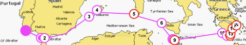
For the last stage of 2021 two superlative visits:
- Palos (Spain), place of preparation of the 3 caravels and departure point of the Greatest Expedition of Cristoforo Colombo;
- Ria Formosa (Faro-Portugal), the Heaven on earth for anchorage;
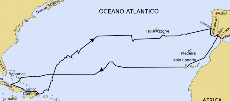
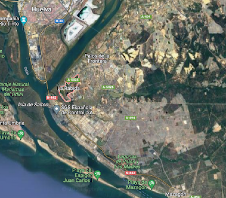 Palos is located on the left bank of the Tinto River estuary where it joins the Odiel River. It's famous because from its small village of La Rabida, on August 3, 1492, Cristoforo Colombo aboard the Santa MarÃa, Vicente Yáñez Pinzón aboard the Niña and MartÃn Alonso Pinzón aboard the Pinta set sail for the Greatest adventure:
Prove to the world that for the 1st time sailing to the West they could discover new islands and new continents.
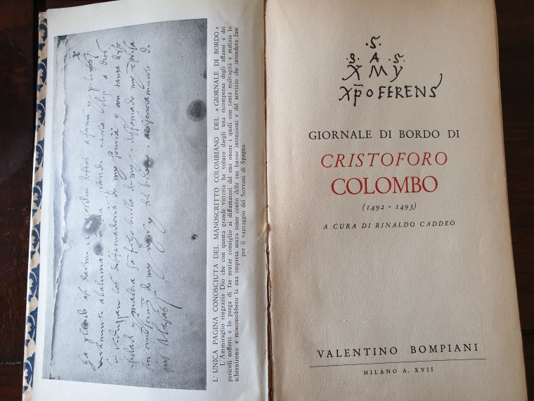
Having studied and researched the texts of Colombo (Diario di bordo), of his son Fernando (in Le Historie) and of Monsignor Las Casas (in Historia de las Indias) as a great fan of the 15th century Descobritores I feel compelled to report some little-known facts of this great adventure.
 |
the 3 caravels in Palos de la Frontera now
/_/_/_/_/_/_/_/_/_/_/_/
Colombo had immense difficulty in carrying out his project. Financing the expedition was also
In fact, I discovered that Columbus estimated the cost of the expedition at 2 million MaravedÃs (equivalent today to 300K euros). It turns out that half of the financing was placed by Colombo himself and shipowner friends from Genoa and Florence who were interested in opening up trade. The other half that was said to have been hired by the Spanish royals was actually loaned to the royals by Luis de Santà ngel and Francesco Pinelli (Genovese friend). It then turns out that the King and Queen have no finances, exhausted by the war against the Moors. It is therefore interesting to note that at least 3/4 of the necessary capital was set aside by Italy!
|
It is important to remember that Colombo's cosmographic concepts were as clear as they were simple: the Earth is round, the Antipodes are inhabited; all seas are navigable; Asia reaches eastward, both with its landmass and with an infinite number of islands. So the central problem to be solved is to ascertain the existence of these islands and verify their distance from the westernmost coasts of Europe.The contrast between C.C. and his opponents is all here; Colombo is sure that such Islands exist and are within easy reach; others deny it. Some sailors who took part in the expedition testified that the Admiral (Colombo) had said that once they exceeded 800 leagues, they expected to find land (1 league equaled 4 miles which at the time was 1480 meters), therefore 3200 km not so far from reality: from Cabo Sao Vicente (SW cape of Portugal) to Salvador (a Bahamas island) where Columbus landed are exactly 3400 nm!Colombo's strength was above all to strongly believe in this project against everyone, Cosmographers, sailors and and his own crew who, from the first days os sailing, opposed this project led by a foreigner (not Spanish) even sabotaging the rudder of the Pinta and then in the last week with the desire to mutiny at his command.
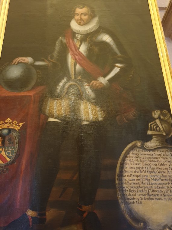 Let's not forget that the Admiral, begins to present his plan to the King of Portugal Joao II 8 years earlier, in 1484. He refuses not believing the conjectures of Columbus who secretly escapes from Portugal at the end of the same year in Castilla (Spain). When he enters in Spain, Colombo is no mean man as many historians describe him. Above all, he is a true sailor, with experience in the Mediterranean and the Atlantic on the ships of those Genoese who were the best in the world at the time who taught the Portuguese to sail, discovering Azores, Madeira, Cape Verde and West Africa .
Colombo is also a businessman, employed by two of Europe's Banking and Commerce Houses. Furthermore, he knows enough cosmography to allow him to lead an ocean navigation.
Finally, having attended the Court of Lisbon, he is familiar with the secrets and designs of territorial hegemony of King Joao II and perhaps this is one of the reasons that convinced the Spanish Queen Ysabela and King Ferdinando to accept meeting and listening to Colombo. But C.C. still doesn't seem to be lucky because the royals of Spain from 1485 to 1492 were still strongly engaged in the age-old problem of freeing Spain from the last Islamic bastions that had lasted since 700 AD.
Once the Kingdom was freed from the Moors, Spain's political line was clear: to keep the peace with Portugal in order to be able to play the decisive game for the domination of the seas and the relative trade with the East.
And so it was.
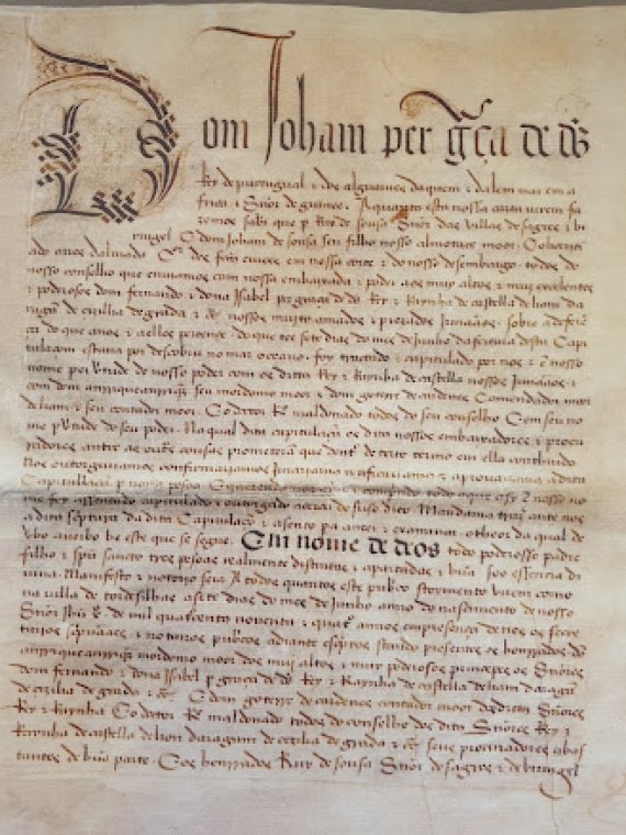
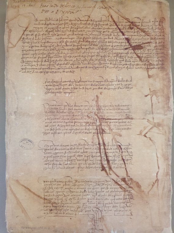
As soon as Granada was freed from Islamism, the Kings of Spain entrusted their Council with the task of examining the project of reaching the East by sailing to the West. The Council completed its work in 3 months: on April 17, 1492, King Ferdinando and Queen Ysabela signed the contract (Capitolaciones de Santa Fe) which decided the costs to be incurred for the ships, their preparation, the galley for 120 sailors, the rewards for Colombo.We can say that with his discovery Colombo generated the first territorial subdivision in the world of the new-lands discovered. In fact, after the discoveries, Portugal cornered Spain on the hegemony of the seas. The Treaty of Tordesillas was signed in June 7, 1494. The treaty divided the World outside Europe into an exclusive duopoly between the Spanish Empire and the Portuguese Empire along the north-south meridian, 370 leagues (1 770 km) west of the Cape Verde Islands (off the coast of Senegal, West Africa), corresponding to approximately 46° 37' W (this meridian was called raya). The lands east of this line would have belonged to Portugal and those west to Spain. The treaty was ratified by Spain on July 2, and by Portugal on September 5, 1494. The originals of both treatises are kept in the Archivo General de Indias in Seville, Spain where we have proudly been.
/_/_/_/_/_/_/_/_/_/_/_/_/_/_/_/_/_/_/_/_/
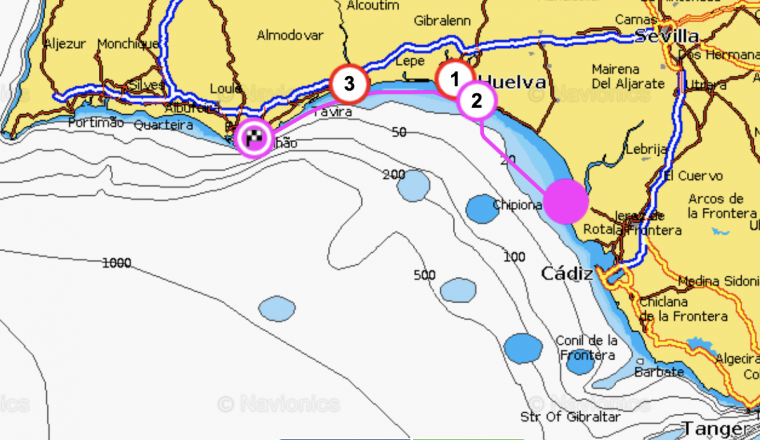
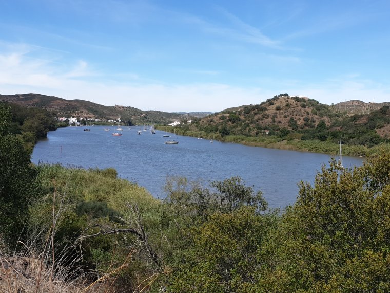
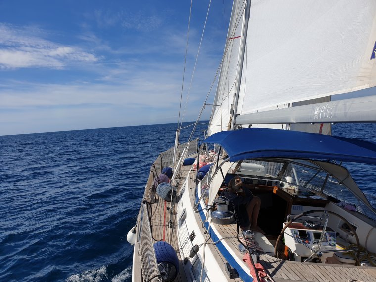
From Palos we headed to the first port/city of Portugal Villa Real de Santo Antonio a cute white village along the Guadiana river the natural border between Spain and Portugal.
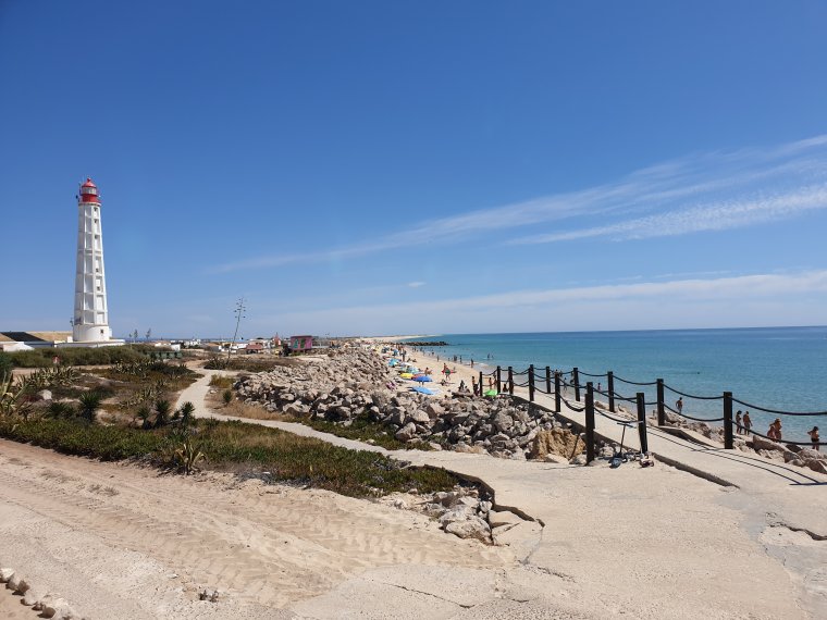
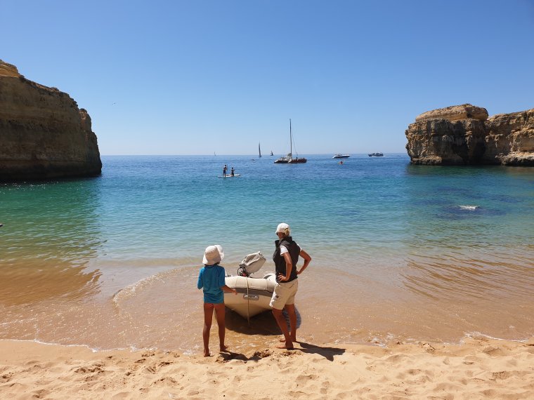
Then 30nm sailing along the long sandy beaches of Algarve till Cabo de Santa Maria where's the entrance into the Paradise of: Parque Natural da Ria Formosa .
Low tides up to 2.5m discover banks of very fine sand full of clams.
In one hour of hoeing, in season (from May to September), you can get almost 4 kg of Amajoas boa.
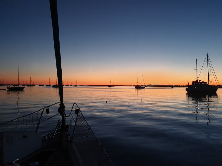
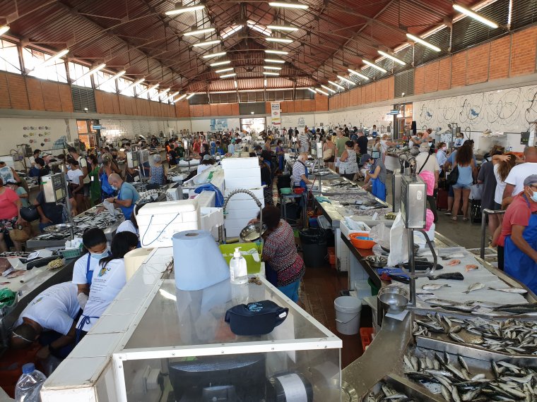
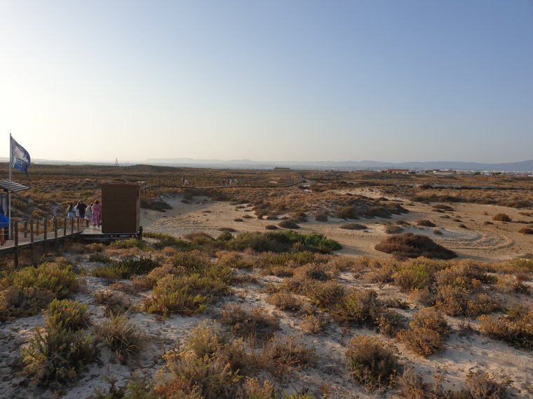
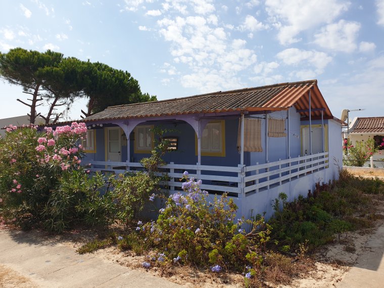
We anchored for 15 days, exploring with our tender, Olhao and its market, the small villages of Armona and Culatra with the longest european savages sandy beaches.
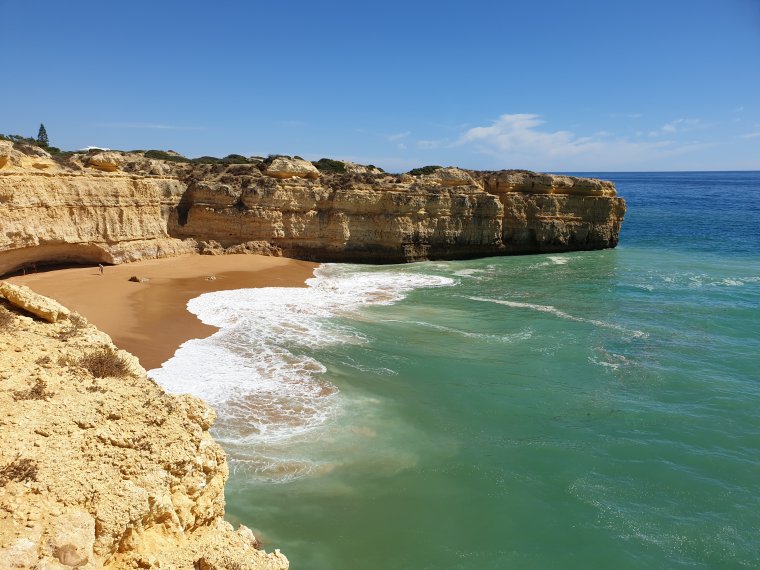
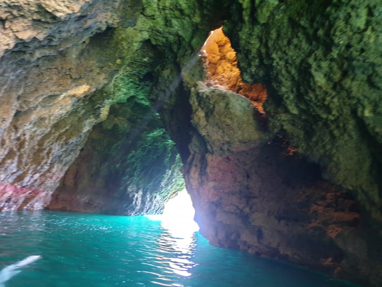
And finally the Algarve's famous caves and cliffs....
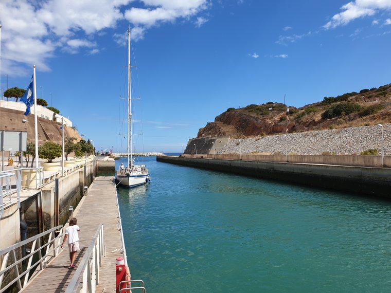
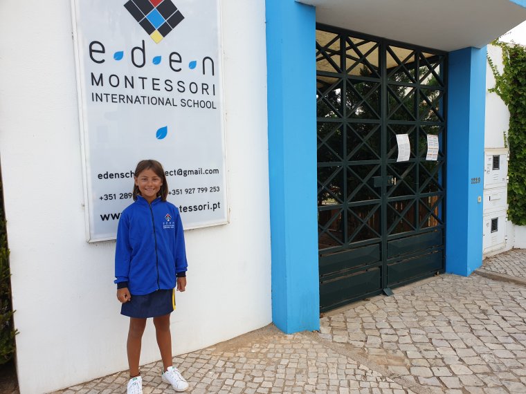
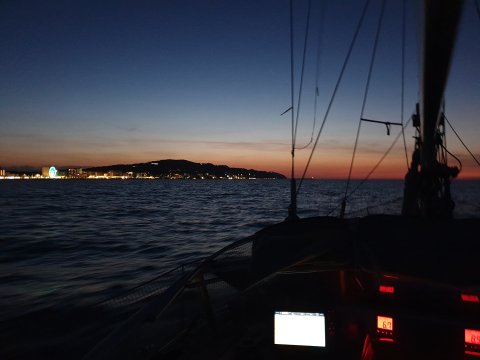
approaching Albufera harbor...it's time to go back school Emma!
0 Comments